
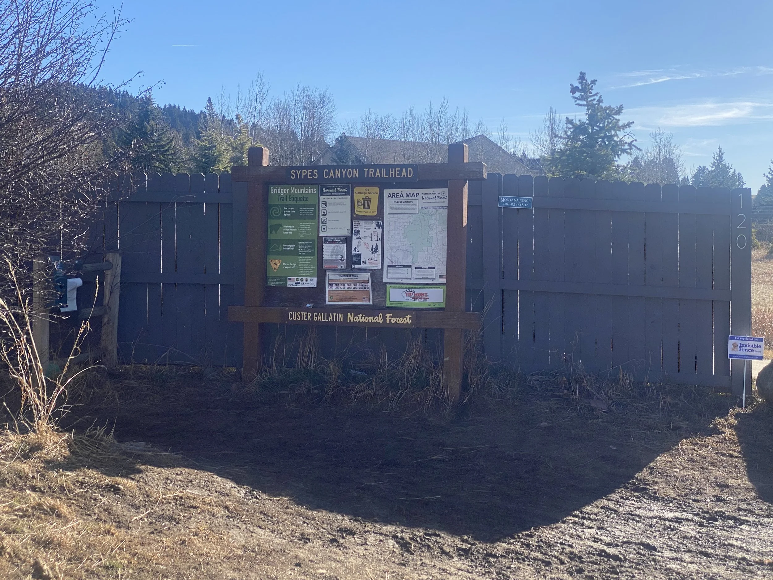
sypes canyon
bridger rangeTrail Stats
Distance: 4 miles round trip to first lookout; 6.2 miles to Bridger Foothills Trail
Difficulty: Moderate to Hard
Elevation Gain: 1,627 ft
Trail Type: Out and back
Estimated Time: 1 to 4 hours depending on turnaround
Dog Friendly: Yes, leash required; mountain biking shared trail on weekdays
Parking / Access: Trailhead off Churn Road at end of Sypes Canyon Road, north of Bozeman via Springhill Road
Best Season: Late spring through fall; usable year-round for experienced hikers
Trail Description:
Sypes Canyon is one of those trails that Bozeman locals come back to over and over because it is just the right kind of hard. The trail follows a creek-fed canyon through shaded forest, gaining elevation quickly as it dives in and out of gullies along the west side of the Bridger Range. At two miles you hit the first overlook, and the view of the Gallatin Valley spread out below you is the kind of view that reminds you exactly why you live here. From there the trail continues up the ridge to the Bridger Foothills Trail at 3.1 miles, connecting to Baldy Mountain and beyond for those who want to make a bigger day of it. It is close to town, the elevation gain gives you a real workout, and the payoff at every overlook is genuine. For buyers looking at homes north of Bozeman, Sypes Canyon is one of the biggest quality-of-life selling points of that whole corridor.
Laurie’s Notes:
This is where Laurie writes his own personal take on the trail.